
Explore Germany's great rivers and discover how the Rhine, Danube, Elbe, Main, and other waterways shaped the country's history, economy, culture, and connection to Europe for centuries.
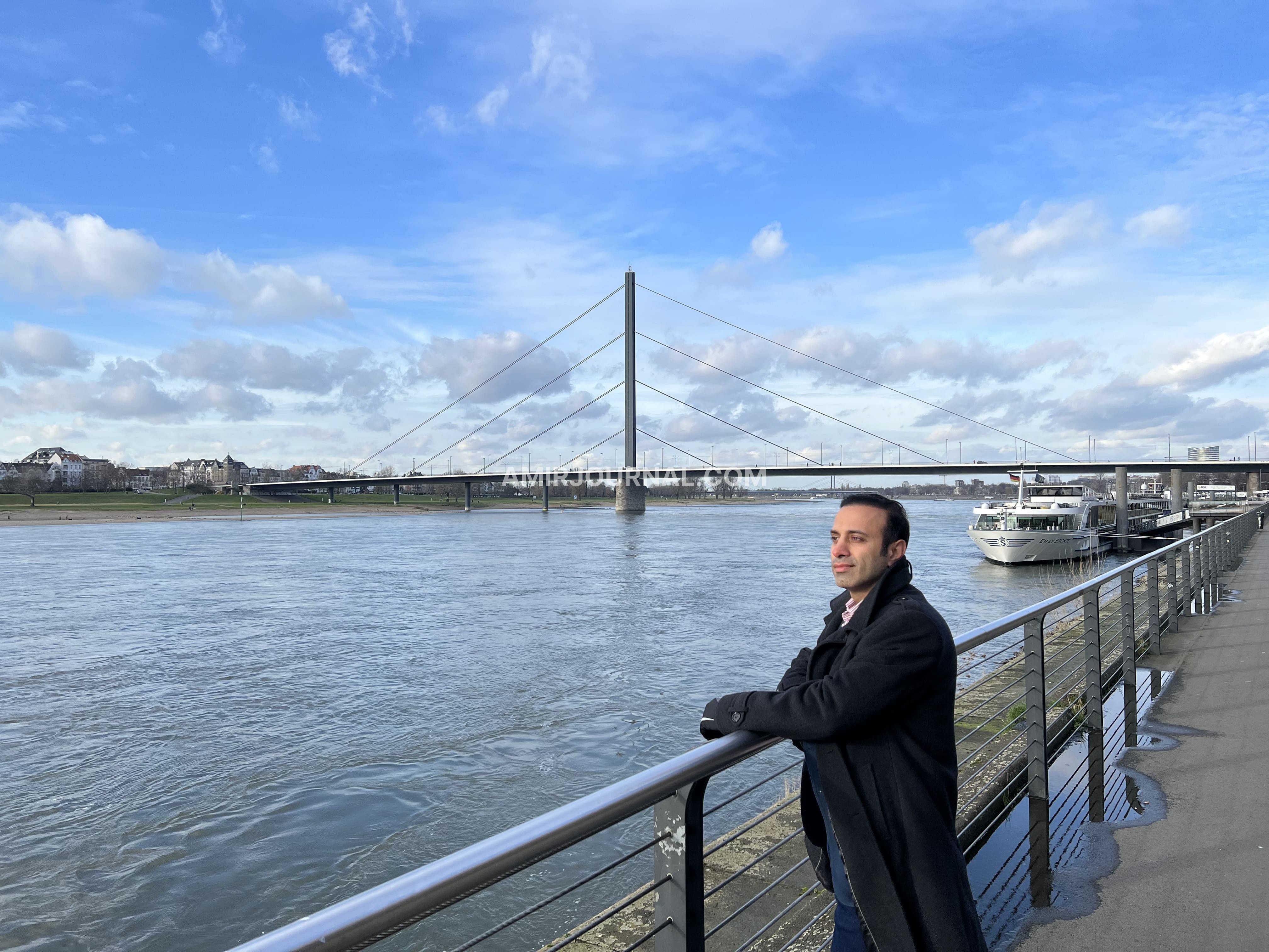
Rhine River - Düsseldorf
The Waterways That Shaped a Nation
Morning mist rises above the Rhine as a cargo vessel moves slowly between vineyard-covered hills. A train follows the riverbank, church towers appear above small towns, and medieval castles watch from the cliffs. The scene brings together several layers of Germany at once: landscape, history, industry, and everyday life.
Across the country, rivers have guided the growth of cities, carried goods between regions, nourished farmland, and connected communities with the wider world. Germany’s waterways form a living map of the nation, flowing from the Black Forest and central highlands towards the North Sea, the Netherlands, and Eastern Europe.
The Story
Long before railways and motorways, rivers provided Germany’s most reliable routes for travel and trade. Roman settlements developed along the Rhine, medieval merchants transported goods between river towns, and powerful cities grew beside ports and crossings.
The Rhine became the most influential of these waterways. Stretching for approximately 1,230 kilometres across Europe, it connects Switzerland, France, Germany, and the Netherlands before reaching the North Sea.
Along its German course, cargo vessels carry containers, fuel, chemicals, coal, grain, and industrial materials. The river links major centres such as Mannheim, Mainz, Koblenz, Cologne, and Düsseldorf with ports farther north, making it one of Europe’s most important transport corridors.
Yet the Rhine also carries stories and legends. Between Bingen and Koblenz, the Upper Middle Rhine Valley winds through steep vineyard terraces, historic towns, and around forty castles and fortresses. This 65-kilometre landscape has inspired painters, poets, and composers for centuries and joined the UNESCO World Heritage List in 2002.
From the deck of a riverboat, castles appear and disappear above the cliffs. Villages gather around church spires, vines rise in careful rows, and the Loreley rock narrows the river into one of its most dramatic passages. Here, commerce and romance share the same water.
In southwestern Germany, two small rivers—the Brigach and the Breg—meet near Donaueschingen and begin the long journey of the Danube. From the Black Forest, the river flows towards the Black Sea, connecting Germany with Central and Eastern Europe.
The Danube passes through or borders ten countries and carries a remarkable variety of languages, religions, architectural traditions, and histories. Along its course stand cities such as Vienna, Bratislava, Budapest, and Belgrade, making the river a cultural corridor across the continent.
In Germany, towns such as Ulm, Ingolstadt, Regensburg, and Passau grew along its banks. At Passau, the Danube meets the Inn and Ilz rivers, and three colours of water briefly flow together beneath the city’s old streets and cathedral towers.
Music, trade, migration, and diplomacy have travelled along this river for centuries. The Danube gives Germany an eastward connection, extending the country’s geography towards the cultures and landscapes of another part of Europe.
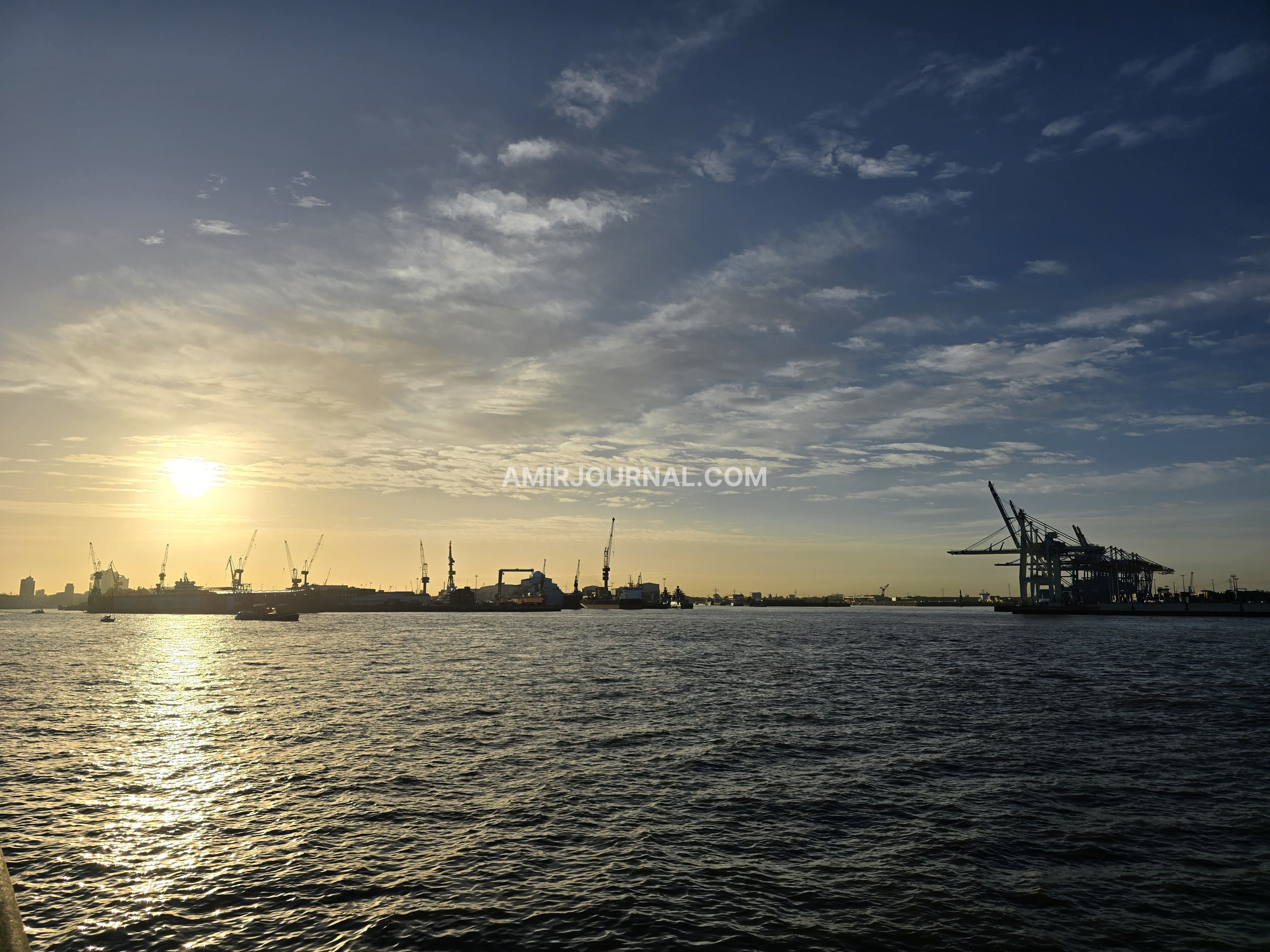
Farther north, the Elbe approaches Hamburg with a broader, more maritime character. Container ships, cranes, warehouses, ferries, and tugboats fill the horizon as the river carries the city towards the North Sea.
Hamburg lies around 100 kilometres from the coast, yet the Elbe transformed it into one of Europe’s great port cities. Since the era of the Hanseatic League, the river has served as Hamburg’s gateway to international trade and helped shape its cosmopolitan identity.
Standing beside the Elbe, Germany’s relationship with the wider world becomes visible. Enormous ships arrive from distant continents, harbour ferries carry commuters across the water, and people gather along the riverbank to watch the port move through its daily rhythm.
The Elbe also carries memories of division. Parts of the river landscape lay along the frontier between East and West Germany during the Cold War. Today, its bridges, ferries, and shipping routes express movement and connection across a reunited country.
The Main River brings the journey into the centre of Frankfurt. Modern towers rise beside the water, museum buildings line the embankment, and cyclists follow paths beneath bridges carrying trains and city traffic.
Around 525 kilometres long, the Main flows westward into the Rhine. Its importance grew further through the Rhine–Main–Danube waterway, completed in 1992. This route created a navigable connection of roughly 3,000 kilometres between the North Sea and the Black Sea, joining western and eastern European markets through rivers and canals.
In Frankfurt, the river also shapes daily life. Office workers sit along the banks after work, runners pass beneath trees, and the Museumsufer turns the waterfront into a cultural corridor. The Main connects the city’s financial energy with a more relaxed rhythm at the water’s edge.
In northern Germany, the Weser carries a quieter regional story. Formed by the meeting of the Fulda and Werra rivers, it flows towards Bremen and the North Sea.
Bremen’s history as a Hanseatic city grew through this connection. Ships once unloaded goods along the Schlachte embankment; today, the same riverside has become a lively promenade of cafés, boats, markets, and summer gatherings.
The Weser supports ports, agriculture, industry, and regional transport while giving northern communities a strong maritime identity. Its presence shows how rivers of different scales contribute to Germany’s economic and cultural life.
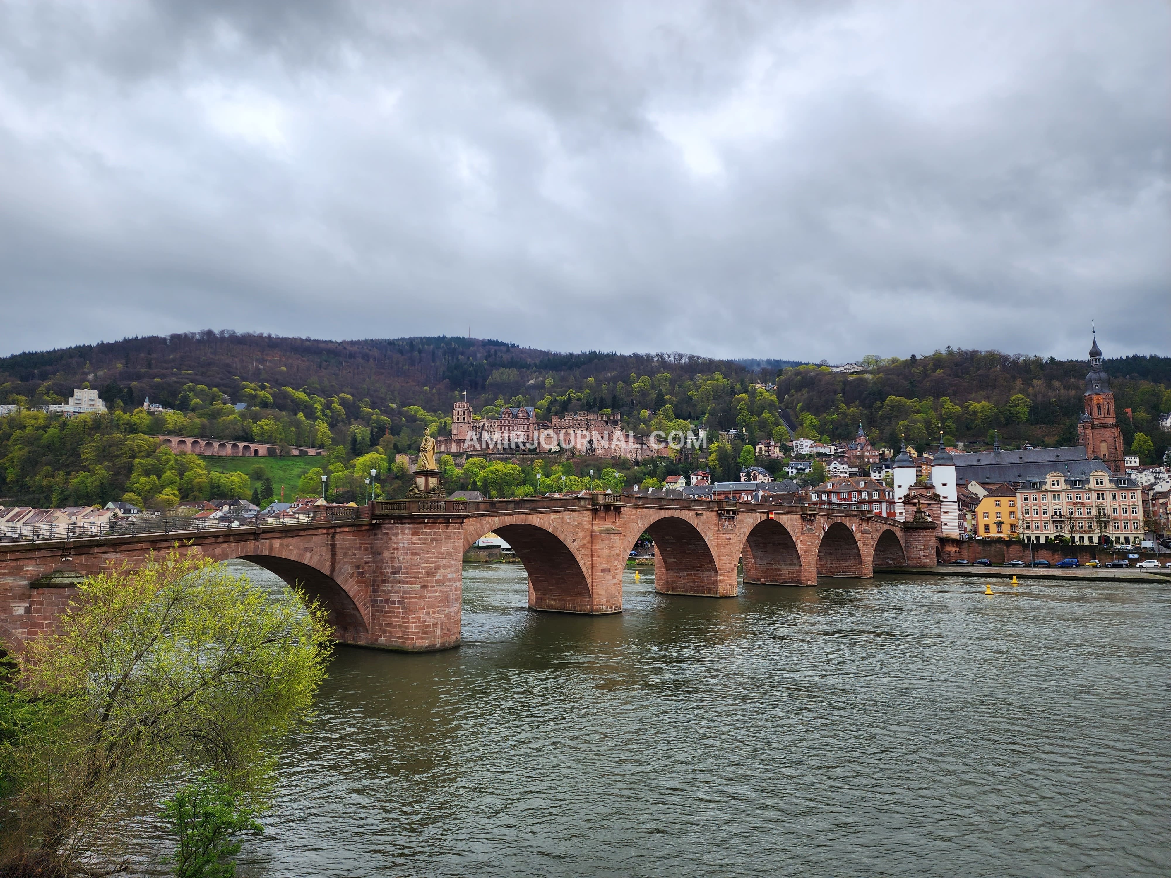
Together, these waterways shape far more than trade. They provide habitats for wildlife, water for cities and agriculture, spaces for recreation, and routes for lower-emission freight transport. They also bring environmental responsibilities, from protecting wetlands and water quality to managing floods and changing water levels.
Travelling beside Germany’s rivers reveals another rhythm of the country. Trains follow their curves, towns face the water, vineyards rise from their banks, and people gather along promenades as evening approaches. Each river has its own direction and character, yet all of them connect landscapes with human life.
The Rhine carries industry and legend. The Danube opens towards eastern Europe. The Elbe gives Hamburg its gateway to the world. The Main links financial Frankfurt to a continental waterway, while the Weser sustains the maritime spirit of Bremen and northern Germany.
As the last light settles over the water, a cargo vessel continues downstream and its wake slowly disappears against the riverbank.
Germany’s rivers keep moving through the landscape, carrying the memory of where the country has been and the quiet promise of where it is going.